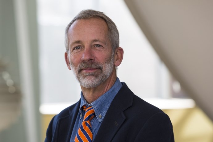
Thomas Millette
- Professor Emeritus of Geography

Thomas L. Millette calls himself "one of the green people on campus," meaning that he is a voice for the environment in policy decisions, building plans, and curriculum development.
A specialist in the technology used for environmental study, Millette also has training in forestry, physics, computer science, biology, ecology, and planning—a broad background that enables him to conduct research across a wide spectrum of disciplines in the search for a better understanding of environmental stresses and responses.
Millette's research has included using satellite and GIS data to study the causes, nature, and impact of land-cover change and forest degradation in the Middle Mountains of the Nepalese Himalayas, in the mangrove forests of the Sundarbans of northeast India, and on the Lake Champlain Basin of Vermont, New York, and Southern Quebec. His publications include "Integration of Remote Sensing and GIS Technologies for Planning." His latest research interest is using remote sensing and GIS to model forest fire potential in the Cibola National Forest, Albuquerque, New Mexico. This research is cofunded by the Packard Foundation and the USDA Forest Service. Additionally, in 2005 Millette was part of a three institution research collaboration (MHC Geoprocessing Lab, Univ. Mass Computer Vision Lab, and Duke University Experimental Forest) that was awarded $1.6 million from the National Science Foundation to further develop aerial sensor packages for light aircraft and apply them to detailed forest metrics modeling.
Millette not only tackles "real world" environmental challenges but encourages students to do the same. His courses have very few traditional lectures or labs and are always organized around a real environmental problem or situation. As director of the MHC GeoProcessing Laboratory, he involves students in a wide variety of remote sensing and GIS research activities funded by EPA, NSF, NASA and numerous other funding agencies.
Areas of Expertise
Remote sensing; Geographic Information Systems (GIS); Environmental Planning
Education
- Ph.D., MA, Clark University
- M.Sc., McGill University
- B.A., University of Massachusetts, Amherst