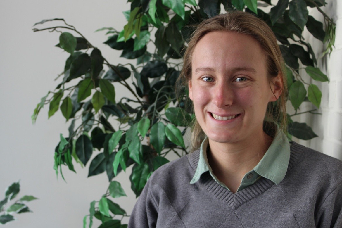
Explore Geography: The Tools for Exploration

Geography has also allowed me the independence to chart a course through the projects that interested me.
Major: Geography, Computer Science minor
Internship: Pocahontas Land Corporation/Norfolk Southern, GIS Intern; Johns Hopkins University, Teaching Assistant;
Assistant positions at MHC: Geography Department, Research Assistant; MHC Computer Science Department, Research Assistant; MHC Religion Department, Technical Assistant
Study Abroad: Alliance for Global Education Program, Shaanxi Normal University
Employer: Microwave Remote Sensing Laboratory, University of Massachusetts-Amherst; South Hadley Fire District #2
When asked what type of geography I do, I say that I am a GIS Specialist. GIS has exposed me to many forms of processing, analysis, storage, and depiction of spatial data across a wide range of applications, but more importantly, it has connected me to the communities surrounding these data and given me intangible tools to chart a unique course in the world.
A long-running fascination with maps and trains led me to be a GIS Intern with Norfolk Southern Railroad in Bluefield, West Virginia the summer before senior year. Not only did I learn to use GIS and spatial information stored in old maps, survey traverses, and land deeds to manage property boundary records, but I also got a crash course about life in the Appalachians.
My coworkers took the time to teach me the history and culture of the company, town, and surrounding region, making sure that when I left the region I brought with me a sense of place as deep as my technical knowledge.
Geography has also allowed me the independence to chart a course through the projects that interested me, from study abroad to independent research and volunteer efforts. Freedom in choosing courses allowed me the space to spend six months studying abroad in China, exploring some of the farthest reaches of the country.
Senior year, my advisor trusted me enough to allow me to do a thesis on a subject outside the department’s areas of expertise, in which I used GIS to study railroad infrastructure in my native Pacific Northwest. Since graduating, these same skills of independent work have led me to my current job as a GIS Specialist for a radar research lab at UMass, and to doing volunteer map work for a local opioid overdose prevention task force.