Mapping Mars Mission Landing Sites
"I created maps of Mars missions for NASA using ArcGIS and MatLab, which I learned in my planetary science class."
Major: Astronomy and Geography
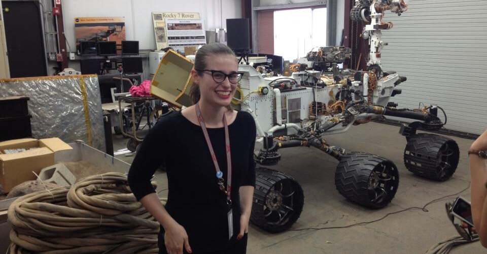
Internship: research assistant, NASA Jet Propulsion Laboratory
I spent my summer breaks working at NASA’s Jet Propulsion Laboratory, where I created maps of Martian landing sites for the InSIGHT and Mars 2020 missions. I assessed hazards posed by craters and topography, helped to distinguish different terrain types in the landing site areas, and spearheaded a project involving the classification of different types of craters by hazard.
Using imagery from the Mars Reconnaissance Orbiter’s HiRISE camera, I identified 4 main types of hazardous craters and determined the reach of their rocky, boulder-laden ejecta. I then compared what these craters looked like between the HiRISE photos and lower-resolution Context Camera images, and marked and classified craters within the entire landing site area using the wider-reaching, lower-resolution imagery.
I conducted all of this work using ArcGIS and MatLab, which I first learned to use in my planetary science class at Mount Holyoke. My first year in the astronomy department really laid the groundwork for my work at JPL, and each year I continued to hone my identification and mapping skills in class. Were it not for the expert guidance of my professors during the school year, I would have certainly floundered as my role at JPL evolved, and the project grew and changed.
The classes offered by the astronomy department familiarized me with the concepts and skills I needed to work on these missions and having the opportunity to participate in an independent study gave me confidence and resolve that proved necessary in navigating the intricacies and politics of a major project at a large government laboratory.